GIS technology for municipalities
Smart Cities
Cities become smart when technology converges with users and they jointly develop a whole ecosystem of processes and technologies to improve the environment and the quality of life of citizens.
Solutionsarrow_forwardSmartGIS Industries
Operational Intelligence
Location intelligence is used in different applications, such as education, health, public services, commerce, energy, natural resources, environment, among others.
Servicesarrow_forward
SmartGIS Mexico Smart Services
OUR SERVICES
Customer-centric approach: 100% of our actions are oriented to the benefit of our customers, placing them at the center of our company.
Today’s governments are clearly recognizing the profound need to transform their organizations through a combination of digital technologies and strategies designed to accelerate their operations. GIS is transformative, requiring a shift in thinking about business problems. Shows how location affects workflows, analytics and participation in the search for truth.
Reporte Ciudadano Reporte Ciudadano puede ser utilizado por el público en general para presentar problemas que no sean de emergencia o solicitudes de servicio en...
Innovative Interfaces Lorem Ipsum is simply dummy text of the printing and typesetting industry. Lorem Ipsum has been the industry’s standard dummy text ever since...
Innovative Interfaces Lorem Ipsum is simply dummy text of the printing and typesetting industry. Lorem Ipsum has been the industry’s standard dummy text ever since...
GIS Experts
INTERDISCIPLINARY TEAM
We are a group experts in various areas focused on government, industry and private sector that guarantees the knowledge and requirements in each of the projects. We have a professional approach in each of our services and solutions that we make available.
Identify Problems
Setting Priorities
Monitor Changes
Make Predictions
Understanding Trends
Manage Responses
Immediate impact solutions
We create unique experiences with customers through solutions that are tailored to their needs, enabling them to achieve continuous improvement in the short term and efficiency to meet goals.
The best vision for action.
GIS TECHNOLOGY
"Los SIG están despertando al mundo el poder de la geografía, esta ciencia de la integración, tiene el poder para crear un futuro mejor.."
Jack DangermondCEO Esri
We provide solutions in various industries
CUTTING-EDGE TECHNOLOGY
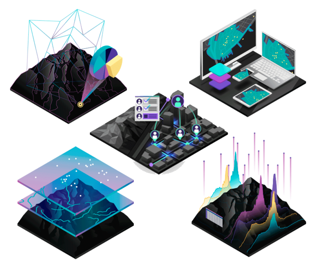
Data
GIS integrates various types of data layers using spatial location, most of the data have a geographic component.
Maps
They are the geographic container for the data layers and analyses you want to work with, can be shared and are accessible to all.
Analysis
It allows to perform adequacy and capability assessments, estimate, predict, interpret and understand new perspectives to decision making.
Applications
They provide focused user experiences to work and make GIS available to everyone, work on any device.